Informative Remote Sensing PowerPoint And Google Slides
 Canva
Canva

Remote Sensing PPT, Google Slides, And Canva Template
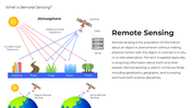
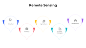
Remote sensing uses satellites, drones, radar, and LiDAR to observe our planet without physical contact. It provides real-time, high-resolution data for mapping, agriculture, disaster response, and climate science, making it an essential, intelligent technology for modern research, planning, and innovation worldwide.
Purpose Of The Slides
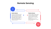
This slide deck simplifies remote sensing by explaining sensor types, data acquisition workflows, and image analysis techniques. Infographics compare passive and active systems, while flowcharts depict the process from start to finish before product creation. Presenters can clearly explain complex geographic concepts, helping audiences embrace evidence-based decision-making, risk reduction, and sustainable resource management.
Who Can Use It?
Environmental scientists, urban planners, civil engineers, security analysts, educators, tech entrepreneurs, and policymakers will benefit from this template. It supports educational lectures, stakeholder presentations, grant proposals, and startup pitches. Customizable slides allow users to add regional images, project milestones, and branding elements, ensuring that each presentation is relevant, compelling, and professionally engaging.
Special Key Features
Each slide features a modular layout, retina-ready graphics, and intuitive color coding for spectral bands, resolutions, and sensor platforms. Editable comparison tables highlight cost, coverage, and accuracy. Animated timelines show mission lifecycles. Accessibility tags improve readability, while drag-and-drop placeholders and one-click theme palettes accelerate customization across PowerPoint, Google Slides, and Canva.
Features of this template
- 100% customizable slides and easy to download.
- The slides contain 16:9 and 4:3 formats.
- Easy to change the colors quickly.
- Highly compatible with PowerPoint, Google Slides, and Canva templates.
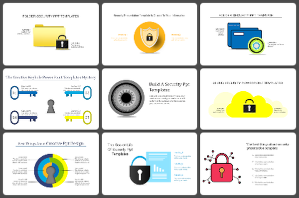
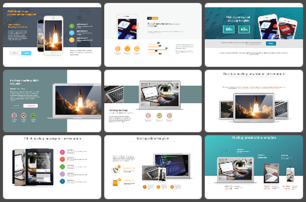
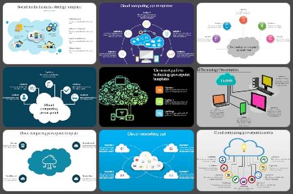
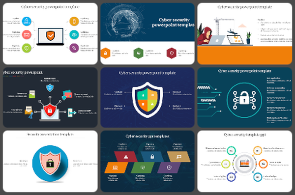
You May Also Like These PowerPoint Templates
Add to Wishlist
Download
AI Customize

Add to Wishlist
Download
AI Customize

Add to Wishlist
Download
AI Customize

Add to Wishlist
Download
AI Customize

Add to Wishlist
Download
AI Customize

Add to Wishlist
Download
AI Customize

Free
Add to Wishlist
Download
AI Customize

Add to Wishlist
Download
AI Customize

Free
Add to Wishlist
Download
AI Customize

Free
Add to Wishlist
Download
AI Customize

Add to Wishlist
Download
AI Customize

Free
Add to Wishlist
Download
AI Customize

Free
Add to Wishlist
Download
AI Customize


Free
Add to Wishlist
Download
AI Customize

Add to Wishlist
Download
AI Customize

Add to Wishlist
Download
AI Customize


