Creative North African Countries Map PPT Presentation

Creative North African Countries Map PPT Presentation
Try this Creative North African Countries Map PPT Presentation template to display the data representation of the geographical area of the North African region. This template is a handy one for geographers, archaeologists, historians, cultural anthropologists, and so on.
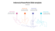
The North African region is roughly divided in a manner corresponding to the principal geographic regions of the Maghreb, the Nile valley, and the Sahel. This template contains the political and regional outline of the North African province. This template has the whole political outline of the African region in which the North African province is highlighted through colors.
This is a handy template to display the locating of specific geographical areas or official sites. It also helps spot specific areas, sales territories, show paths, travel routes, and so on.
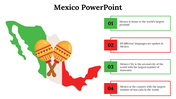
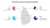
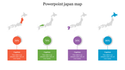
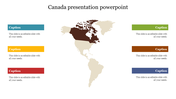
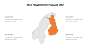
This is a six nodded template. Each node represents the countries of the North African province. The nodes are arranged on both sides of the North African map outline.
Use this geographically themed template to make the audience grasp your data representation at their mere glance.
Features of this template:
- 100% customizable slides and easy to download.
- Slides available in different nodes & colors.
- The slide contained 16:9 and 4:3 format.
- Easy to change the slide colors quickly.
- Well-crafted template with instant download facility.
- Pre-built template with premium features.
- Stunning six nodded template with the geographical theme.


You May Also Like These PowerPoint Templates


