PowerPoint Country Maps Presentation And Google Slides
Nodes

Colors
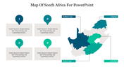
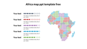
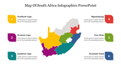
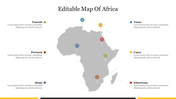
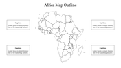
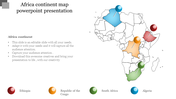
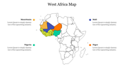
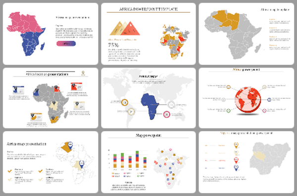
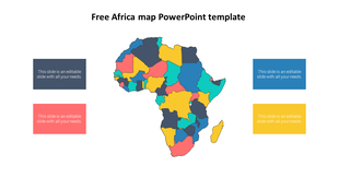
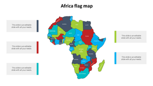
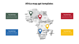
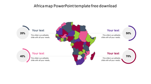
Africa Map Presentation
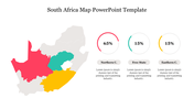
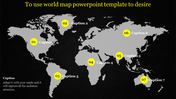
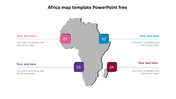
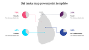
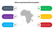
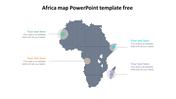
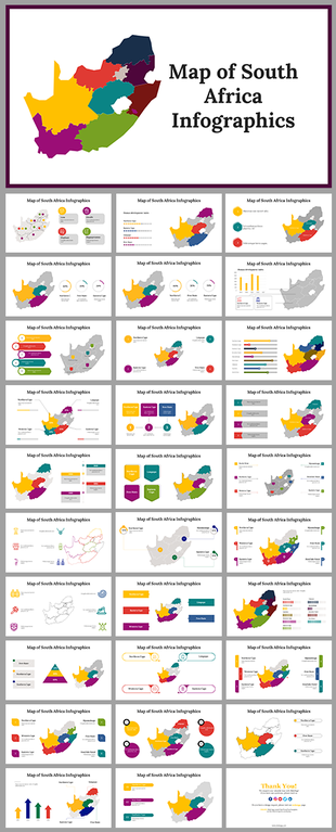
Unlock the richness of Africa in your presentations by downloading our interactive Africa Map Presentation Template now. Seamlessly integrate your content, highlight key destinations, and explore the diverse states of Africa with this customizable canvas. Whether you're an educator, business professional, or travel enthusiast, elevate your presentations and vividly share your stories. Begin your journey—download the template today for an immersive exploration of Africa's landscapes and cultures
Features of the Template
- 100 % customizable slides.
- The slide show is in 4:3, 16:9, zip format.
- There is powerful connectivity with PowerPoint Templates.
- It is simple and quick to alter the slide's color.
- An efficient template that can be easily accessed immediately.
- Well-crafted template with an instant download facility.
More Collections for PowerPoint Country Maps Presentation
Recommended based on this template.
Similar Templates to PowerPoint Country Maps Presentation

Showing20 of69,218 templates