Versatile Maps PowerPoint Presentation for Analytics

Slide with colorful bar chart and three geographic maps with circular labels, and text descriptions below.
P.ID : 35044
    166 views
    10 Downloads
    Get Custom Slides by Experts
    Instantly Access Templates in PowerPoint

    Maps Presentation Template


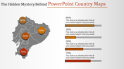
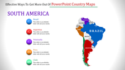
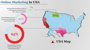
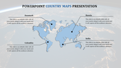
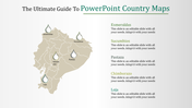
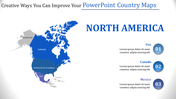
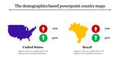
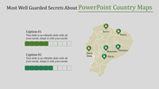
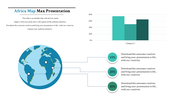
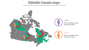
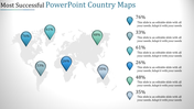
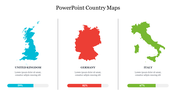
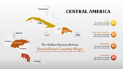
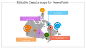
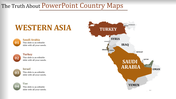
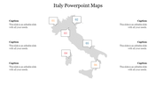
    Do you want to make your data look interesting and easy to understand? This Map PowerPoint presentation template can help! It's mixed maps with charts and graphs, making your presentations stand out. The template has maps of Australia, Canada, and England. You can show important data with bar charts and circles. There are also captions you can edit to explain your data better. The simple white background makes sure your information is clear.

    Whether you're a business professional showing market trends, a student explaining global demographics, or a researcher comparing data from different countries, this template is perfect. Just customize the maps and charts with your data, add your colors and fonts, and create a presentation that grabs attention. Download this template today and see how map-based presentations can transform your data storytelling!

    Features of the template


    • Slides are available in different nodes & colors.
    • Easy to change the slide colors.
    • Well-crafted template with instant download.
    • Highly compatible with PowerPoint and Google Slides.
    Advertisement

    You May Also Like These PowerPoint Templates

    Add to Wishlist
    Download
    AI Customize
    Indonesia map presentation slide with colorful percentage icons and data with placeholder text.
    Add to Wishlist
    Download
    AI Customize
    Gray outline map of the Netherlands centered with six colored caption boxes in yellow, teal, purple, orange, pink, and red.
    Add to Wishlist
    Download
    AI Customize
    Gray Singapore map with five highlighted regions, and location details on the right with flag in the left corner.
    Add to Wishlist
    Download
    AI Customize
    Effective Paris Template PPT Free Slide With Two Nodes
    Free
    Add to Wishlist
    Download
    AI Customize
    A dotted circle with a Cuba map in the center, surrounded by blue, purple, orange, and red text boxes connected by lines.
    Add to Wishlist
    Download
    AI Customize
    Outline of China's map with dotted lines pointing to text boxes for annotations or regional data.
    Free
    Add to Wishlist
    Download
    AI Customize
    Europe map slide with markers showing data points for different regions, accompanied by captions for each area.
    Add to Wishlist
    Download
    AI Customize
    Europe continent map with various slides highlighting countries like France, Spain, Italy, and Sweden with icons and text.
    Free
    Add to Wishlist
    Download
    AI Customize
    Gray map of Japan with a red pin marking Tokyo, with text information on the right side.
    Add to Wishlist
    Download
    AI Customize
    Map of the U.S. with Montana, Iowa, Ohio, and Texas highlighted, each in a different color with a caption areas.
    Add to Wishlist
    Download
    AI Customize
    Europe PowerPoint template showcasing a color coded map of Europe with location markers and a pie chart for additional data.
    Add to Wishlist
    Download
    AI Customize
    Taiwan map divided into orange and green halves, with text areas on either side featuring circular icons and dotted lines.
    Add to Wishlist
    Download
    AI Customize
    Russia map design with six vibrant location markers in various colors, each paired with placeholder text areas.
    Add to Wishlist
    Download
    AI Customize
    World map PowerPoint template with blue dots marking key locations across different continents.
    Free
    Add to Wishlist
    Download
    AI Customize
    Oceania map template made with colored dots, featuring four numbered areas with text placeholders.
    Add to Wishlist
    Download
    AI Customize
    Indonesia PowerPoint PPT Presentation In Graph Model
    Add to Wishlist
    Download
    AI Customize
    Netherlands map with four color-coded points, each connected to labeled placeholder text areas.