Editable Country Maps PowerPoint Template Designs

PowerPoint slide featuring a world map with percentage markers on various countries, showcasing country maps.
P.ID : 8454
    344 views
    18 Downloads
    Get Custom Slides by Experts
    Instantly Access Templates in PowerPoint

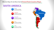
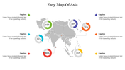
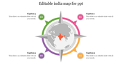
    Country Maps Slide: Navigate Global Insights with Precision


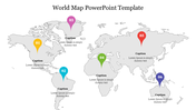
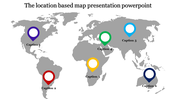
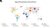
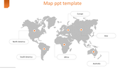
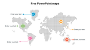
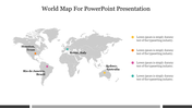
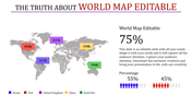
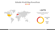
    Embark on a journey of data-driven exploration with our country maps PowerPoint slide, an essential asset for professionals seeking geographical insights. The slide unfolds a world map adorned with six pinpoints, each representing strategic locations. Facts meld seamlessly with visuals as percentage levels accompany each pinpoint, offering a comprehensive view.

    Best for analysts, strategists, and businesses with global outreach, this slide transforms raw data into a visual narrative. Six text areas, complementing the pinpoints, facilitate in-depth explanations. Uncover the power of spatial storytelling. Elevate your presentations with the map PowerPoint slides, where information meets impact. It's not just a slide; it's your gateway to geographically informed decisions. Plot your success and chart your course.

    Features of the template


    • 100% customizable slides are easy to download.
    • Slides are available in different colors.
    • The slide has 4:3 and 16:9 formats.
    • It is easy to change the slide colors quickly.
    • It has a cute design to impress an audience.
    • Create feature-rich, animated presentations.
    Advertisement

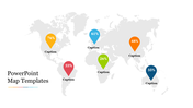
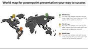
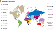
    You May Also Like These PowerPoint Templates

    Add to Wishlist
    Download
    AI Customize
    World map infographic with currency icons on colorful markers representing different locations globally.
    Free
    Add to Wishlist
    Download
    AI Customize
    World map featuring four black location pins with dashed lines leading to text boxes around the map.
    Free
    Add to Wishlist
    Download
    AI Customize
    Gray Africa map featuring four blue pins indicating key locations, each with a corresponding text box.
    Add to Wishlist
    Download
    AI Customize
    Mapa mundi para apresentacao with numbered regions, each displaying a placeholder text on a colorful, interactive map.
    Add to Wishlist
    Download
    AI Customize
    USA PPT slide featuring a map with selected states highlighted in green and red, accompanied by a legend and numbered list.
    Add to Wishlist
    Download
    AI Customize
    A slide showing a world map illustrating the seven continents and five oceans in shades of blue with a beige background.
    Add to Wishlist
    Download
    AI Customize
    Pack of slides with multiple world maps showing the continents and oceans, using distinct color schemes.
    Free
    Add to Wishlist
    Download
    AI Customize
    Editable World Map For PowerPoint Download Slide
    Add to Wishlist
    Download
    AI Customize
    Slide featuring an interactive world map with colored markers indicating various locations with percentage captions below.
    Add to Wishlist
    Download
    AI Customize
    Color coded world map highlighting the five major oceans pacific, atlantic, arctic, southern, and indian.
    Add to Wishlist
    Download
    AI Customize
    A blank, printable world map displaying the seven labeled continents from north america to australia.
    Add to Wishlist
    Download
    AI Customize
    Creative world map highlighting South America, Africa, and Australia in color, with labeled captions on the right side.
    Free
    Add to Wishlist
    Download
    AI Customize
    Gray world map with circular icons in red, green, blue, and yellow marking different locations, each labeled with a caption.
    Add to Wishlist
    Download
    AI Customize
    Cool world map slide showcasing annual data points for 2019, 2020, 2022, and 2023 with colorful markers.
    Free
    Add to Wishlist
    Download
    AI Customize
    World map with continents highlighted in different colors and circular percentage charts
    Free
    Add to Wishlist
    Download
    AI Customize
    World map slide with three percentage values represented by different colored circles and placeholder text.