PowerPoint Country Maps Slide PPT Presentation
Nodes

Colors





Country Maps Presentation Design
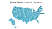
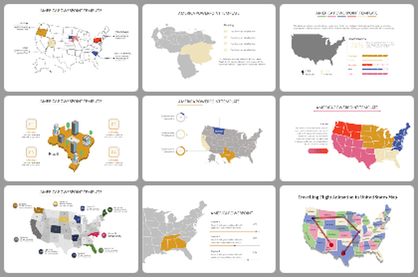
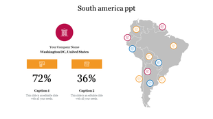
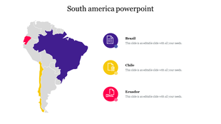
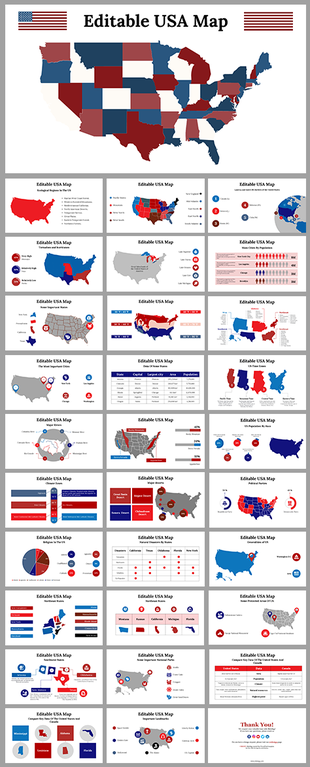
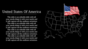
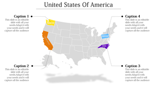
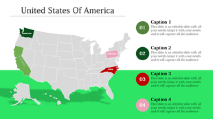
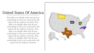
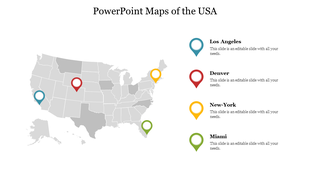
Searching for a template to present your map with data? Our Country Map PowerPoint Template can help you with accuracy. The slide comes with a subtle blue background with portions of the USA. Inside the continent two or more countries can be marked with different colors. Besides the map, percentage markings are provided in percentage form with descriptions.
The description can be customized. Suitable for educators, geographers, business analysts, and presenters, this template simplifies complex geographical data. Well perfect for illustrating market distribution, showcasing demographic insights, or presenting regional trends. Download now to elevate how you present your country maps!
Features of the template
- 100% customizable slides and easy to download.
- Slides are available in different nodes & colors.
- The slide contains 16:9 and 4:3 formats.
- It is easy to change the colors of the slide quickly.
- Well-crafted template with an instant download facility.
More Collections for PowerPoint Country Maps Slide PPT Presentation
Recommended based on this template.
Similar Templates to PowerPoint Country Maps Slide PPT Presentation
Showing20 of69,218 templates