Our Editable PowerPoint USA Map Presentation Template
Nodes

Colors


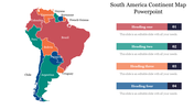

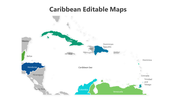




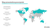
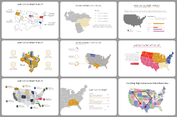
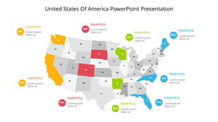
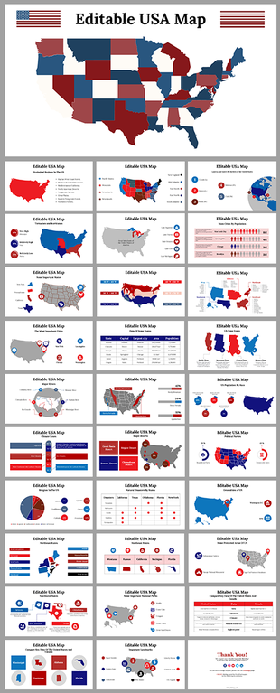
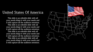
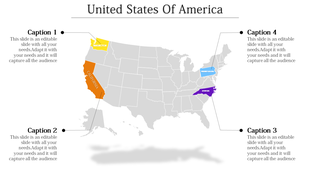
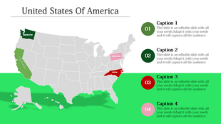
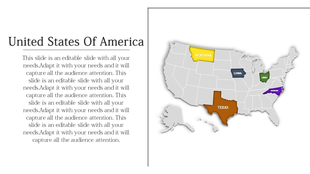
USA Map Presentation Template
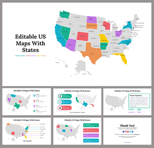
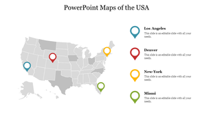
Explore the power of geography with our "USA Map Presentation Template." This visually striking map of the United States is a dynamic tool designed to enhance your presentations with clear regional distinctions.
Tailored for educators, business professionals, travellers, and researchers, this template is perfect for presentations requiring a detailed and visually appealing representation of the United States. Whether it's a geography lesson, business analysis, travel presentation, or research project, this template adds a visual dimension to your content.
Ideal for teachers, business analysts, researchers, and anyone seeking to convey information related to the geographical divisions of the United States.
Available in "16:9" and "4:3" formats for flexibility across different screen dimensions. Zip formats for easy sharing and accessibility. 100% customizable, enabling you to tailor the presentation to your specific content. Transform Your Presentations with Geographical Precision – Download Now!
More Collections for Our Editable PowerPoint USA Map Presentation
Recommended based on this template.
Similar Templates to Our Editable PowerPoint USA Map Presentation
Showing20 of69,218 templates