Free - A Two Nodded Map Presentation PowerPoint
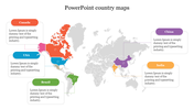
A Two Nodded Map Presentation PowerPoint
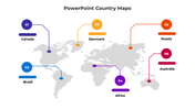
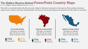
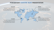
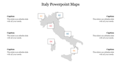
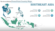
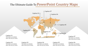
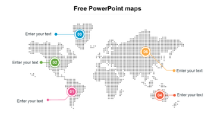
Make use of this A Two Nodded Map Presentation PowerPoint to display the aspects of the Americas in a single presentation. This template displays the East African region. This is a professionally well-made template. This pre-designed template assists you in building presentations in no time. This is a 100% user-friendly template.
About the template:
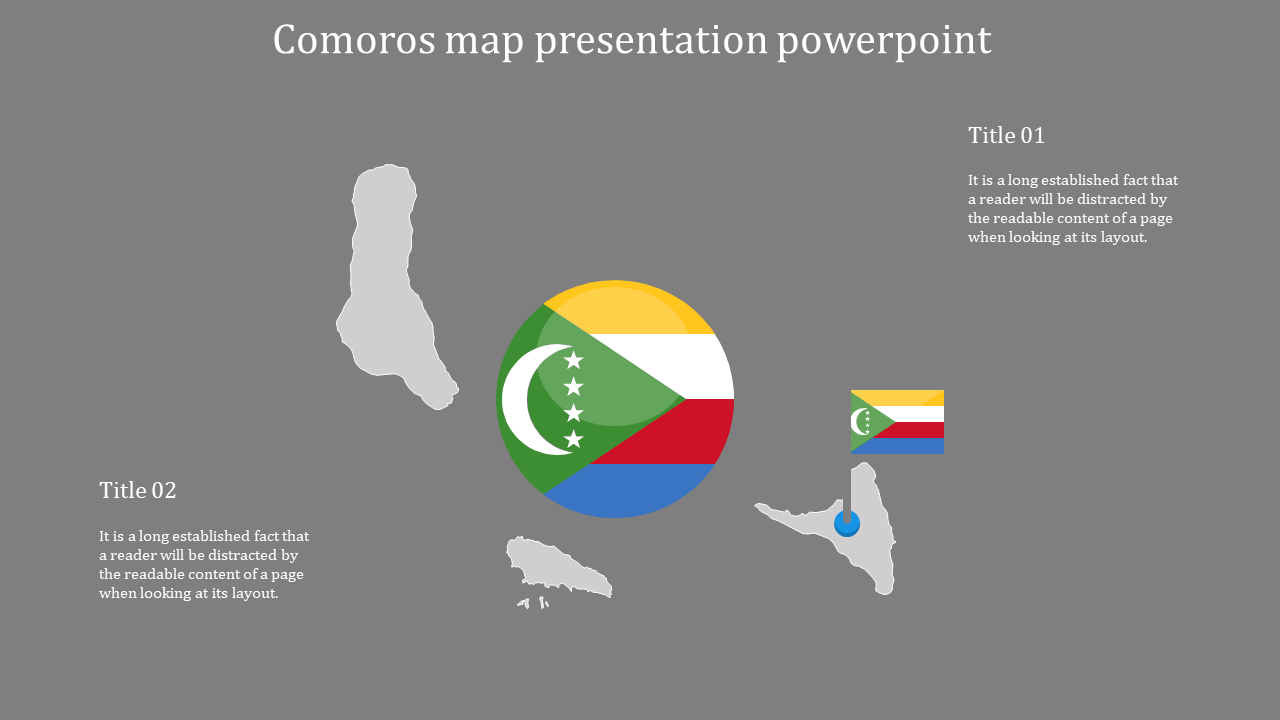
This A Two Nodded Map Presentation PowerPoint provides you with the best geographical-themed presentation creating an experience. This template has a clear political outline map of the Comoros province at the center of this template. Comoros is a liberated state incorporating three of the Comoro Islands in the Indian Ocean, off the coast of East Africa.
The nodes are positioned in the top left and bottom right corner of this template. It has the description space for a detailed explanation.
Use this editable geographical-themed template for all your presentations. Make your audience grasp your presentation swiftly.
Features of this template:
- 100% customizable slides and easy to download.
- Slides available in different nodes & colors.
- The slide contained 16:9 and 4:3 format.
- Easy to change the slide colors quickly.
- Well-crafted template with instant download facility.
- Geographically themed template with outline maps.
- Pre-built template at cost-efficient access.










You May Also Like These PowerPoint Templates
Showing20 of69,218 templates