Bangladesh Map PowerPoint Template and Google Slides
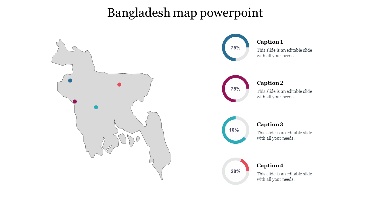
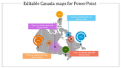
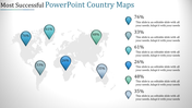
Creative Bangladesh Map Presentation - Grey Theme
"Bangladesh is a South Asian country bordered by India and Myanmar. It covers an area of 147,570 square kilometers with a population of over 164 million people. The capital city is Dhaka. The country is mostly flat with hills in the northeast and southeast regions. The Sundarbans, the world's largest delta and home to the Bengal tiger, is a UNESCO World Heritage site. Bangladesh is also known for its rich culture, cuisine, and historical landmarks. By using our template you can convey your message in a clear and concise manner."
Features of the template
- 100% Customizable slide and easy to download
- This template has a grey theme.
- Drag and drop image placeholder
- Huge Collections of the best Map slides to impress your audience
- This slide further supports the 16:9 and 4:3 format
- Easily readable and acceptable template.
- Highly compatible with PowerPoint and Google Slides
- This slide has a colorful design pattern










You May Also Like These PowerPoint Templates
Showing20 of69,218 templates