Editable Indonesia Map PowerPoint template diagram
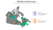
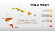
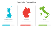
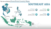
Indonesia Map Presentation Slide
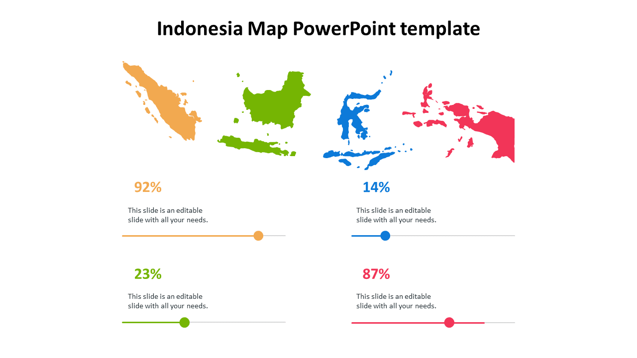
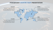
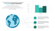
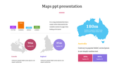
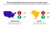
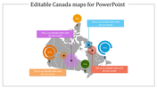
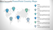
Indonesia is the world's largest archipelagic state comprising over 17,000 islands, and with a population of over 270 million people. The country's geography and diverse culture make it a popular tourist destination. The Indonesia Map template can help presenters showcase the different regions and landmarks of the country in a visually engaging manner. It can be useful for business presentations, tourism pitches, or educational lectures. The template is customizable, allowing presenters to tailor the content to their specific needs.
Features of the template:
- 100% customizable slide and easy to download.
- The slide contained in 16:9 and 4:3 formats.
- This slide has a colorful design pattern.
- Highly compatible with PowerPoint and Google Slides.
- Drag and drop image placeholder.
- Well-crafted template with instant download facility.










You May Also Like These PowerPoint Templates
Showing20 of69,218 templates