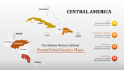
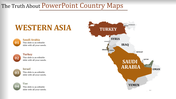
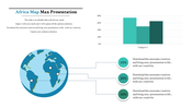
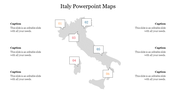
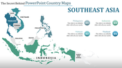
Free - Easy To Editable Map PowerPoint And Google Slides

 Canva
Canva
Hungary Map PowerPoint, Google Slides, and Canva Template
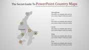
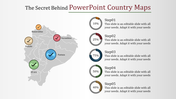
Hungary Map Presentation slides help presenters showcase Hungary’s geographical boundaries, administrative regions, demographics, business hubs, travel routes, and economic data visually. Common uses include country profiles, market expansion reports, tourism briefs, trade partnership plans, cultural introductions, and educational case studies. Highlighting key cities like Budapest, Debrecen, and Szeged along with regional insights makes your data memorable and easy to grasp.
Purpose Of The Slides
Perfect for educators, researchers, business analysts, marketers, and students who need to present facts about Hungary for classes, client meetings, regional studies, or investment proposals. Whether you’re pitching a new product launch in Central Europe or explaining cultural facts, this template gives you a polished start.
Who Can Use It?
Perfect for educators, researchers, business analysts, marketers, and students who need to present facts about Hungary for classes, client meetings, regional studies, or investment proposals. Whether you’re pitching a new product launch in Central Europe or explaining cultural facts, this template gives you a polished start.
Special Key Features
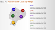
This single slide features editable Hungary maps with vibrant colors and clear text areas for adding custom details. Maps are fully resizable, so you can zoom in on regions or cities as needed. Elevate your next presentation with this Hungary Map Presentation deck download now to impress your audience with clean, professional visuals and region-specific insights!
Features of this template
- 100% customizable slides and easy to download.
- The slides contain 16:9 and 4:3 formats.
- Easy to change the colors quickly.
- Highly compatible with PowerPoint, Google Slides, and Canva templates.


You May Also Like These PowerPoint Templates


