Multicolor Labeled Africa Political Map Slide Template


Colorful Africa Political Map Slide
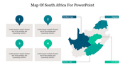
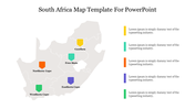
Looking for a well-made Africa Political Map slide for making an informative presentation about African politics. Then, you have anchored at the right spot. Get this creative, pre-designed slide from SlideEgg with a perfectly plotted political map of Africa to present your information. The fully editable, multicolor map added in this slide helps to show the African continent with its nations, national capitals, international borders, and major cities. It also has text blocks for your notes, and you are free to use this slide for education, business, or any other purposes. Try this entirely editable, printable, and shareable slide in your presentations today!
Features of the template
- 100% customizable slides and easy to download.
- Slides are available in different nodes & colors.
- The slide contains 16:9 and 4:3 formats.
- Easy to change the colors of the slide quickly.
- Well-crafted template with an instant download facility.
- A colorful Africa map is added.


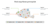
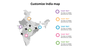
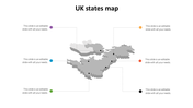
You May Also Like These PowerPoint Templates

Add to Wishlist
Download
Edit

Add to Wishlist
Download
Edit

Add to Wishlist
Download
Edit

Add to Wishlist
Download
Edit

Add to Wishlist
Download
Edit

Add to Wishlist
Download
Edit

Add to Wishlist
Download
Edit

Add to Wishlist
Download
Edit

Add to Wishlist
Download
Edit

Add to Wishlist
Download
Edit

Add to Wishlist
Download
Edit


Add to Wishlist
Download
Edit

Add to Wishlist
Download
Edit

Add to Wishlist
Download
Edit

Add to Wishlist
Download
Edit

Add to Wishlist
Download
Edit

Add to Wishlist
Download
Edit

Add to Wishlist
Download
Edit
