World Map Labeled Continents And Oceans PPT Template

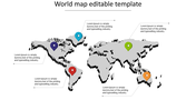
Explore The World Map Labeled Continents And Oceans PPT Template
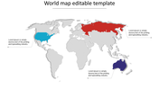
Our World Map Labeled Continents and Oceans PPT template is one of the important slides to give an overall view of the world's geography in a summary and appealing manner.
Slides Description:
A vibrant, oval world map with the continents and oceans highlighted in colors to stand out with great labeling of the same.
Who can Benefit?
Educators, geographers, travel enthusiasts, business professionals the template will be perfect for conducting presentations on geography lessons, travel presentations, and global business meetings.
How does this template help in the teaching of geography?
Since the theme is very attractive, visual, and vivid, this template helps a lot in geography lessons for one reason: it gives children a very colorful and well-developed map of the world. Bright colors and clear labels of all continents and oceans help students quickly find and easily memorize geographical places.
Download now!
Features of the template
- 100% customizable slides and easy to download.
- The slides contain 16:9 and 4:3 formats.
- Easy to change the colors quickly.
- It is a well-crafted template with an instant download facility.
- It is a 100% pre-designed slide.
- The slide holds vibrant colors.


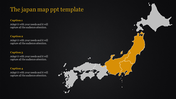
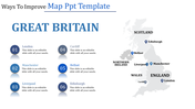
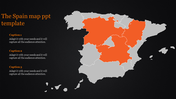
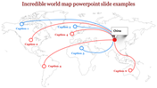
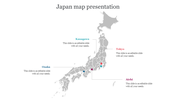
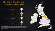
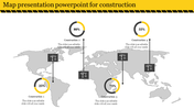
You May Also Like These PowerPoint Templates
Add to Wishlist
Download
Edit

Add to Wishlist
Download
Edit

Add to Wishlist
Download
Edit

Add to Wishlist
Download
Edit

Add to Wishlist
Download
Edit


Add to Wishlist
Download
Edit

Add to Wishlist
Download
Edit

Add to Wishlist
Download
Edit

Add to Wishlist
Download
Edit


Add to Wishlist
Download
Edit


Add to Wishlist
Download
Edit


Add to Wishlist
Download
Edit


Add to Wishlist
Download
Edit

Add to Wishlist
Download
Edit
