World Map Countries & Continents PowerPoint & Google Slides

Visual slide of a world map with each continent distinctly colored and labeled with matching icons for easy identification.
P.ID : 35918
    9.2K+ views
    1.1K+ Downloads
    Get Custom Slides by Experts
    Instantly Access Templates in PowerPoint

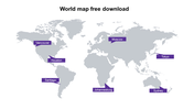
    World Map Countries & Continents Presentation Slide

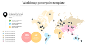
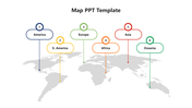
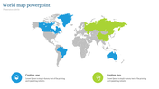
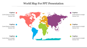
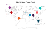
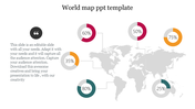
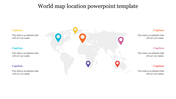
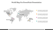
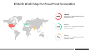
    The world is a vast expanse of land and sea, divided into several continents and countries. Our colorful world map highlights the borders and names of each country and continent, making it a useful tool for geography lessons or business presentations. With its vivid hues and detailed representation, the world map will help you paint a clear picture of the world's geography. This template is ideal for anyone in need of a visual representation of the world's countries and continents. 


    Features of the template

    • 100% customizable slides and easy to download.
    • Slides are available in different nodes & colors.
    • The slides contain 16:9 and 4:3 formats.
    • Easy to change the colors quickly.
    • It is a well-crafted template with an instant download facility.
    • Compatible with Google Slides and PowerPoint.
    • This slide is designed with a creative design with a text area.
    • The map is designed using colorful hues.
    Advertisement

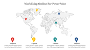
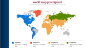
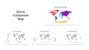
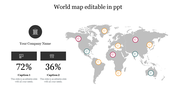
    You May Also Like These PowerPoint Templates

    Add to Wishlist
    Download
    AI Customize
    Grayscale Netherlands map with six colored dots in blue, red, green, purple, teal, and orange, linked to text on both sides.
    Free
    Add to Wishlist
    Download
    AI Customize
    PowerPoint Map Templates for Geographical Data Presentation
    Add to Wishlist
    Download
    AI Customize
    Portugal map with four location markers in blue, red, yellow, and green, each linked to descriptions aligned on the left.
    Add to Wishlist
    Download
    AI Customize
    Argentina map slide with regions highlighted in different colors and six pie charts showing varying data percentages.
    Add to Wishlist
    Download
    AI Customize
    Australia map template showing three labeled points, linked to percentage metrics and text placeholders.
    Add to Wishlist
    Download
    AI Customize
    Map of Turkey with six regions highlighted in different colors, each marked with a label and arrow.
    Add to Wishlist
    Download
    AI Customize
    Illustration of a rider on a horse over a red Turkey map with flags, mosques, and flying planes, and text on the right.
    Add to Wishlist
    Download
    AI Customize
    Infographic of France highlighting regions in blue, red, and white, with explanations about the symbolism of colors.
    Add to Wishlist
    Download
    AI Customize
    Colored world map showing North America, South America, Africa, and Australia, each highlighted in distinct shades.
    Free
    Add to Wishlist
    Download
    AI Customize
    Ecuador country map with six labeled location pins for cities like Ibarra, Nueva, Montalvo, Riobamba, Macas, and Santa Elena.
    Add to Wishlist
    Download
    AI Customize
    Blue shaded Great Britain map showing regional populations, alongside two percentage circles and a numbered list.
    Add to Wishlist
    Download
    AI Customize
    World map with six labeled location markers and travel path, set against a bright blue background.
    Free
    Add to Wishlist
    Download
    AI Customize
    PowerPoint slide with a Netherlands map showing four points corresponding to the years 2017 to 2020 with captions.
    Add to Wishlist
    Download
    AI Customize
    Gray world map showing global points in yellow, red, pink, green, and purple, and dotted lines connecting them.
    Add to Wishlist
    Download
    AI Customize
    World map PowerPoint slide with percentage circles highlighting different regions with percentages and captions.