Map Presentation PowerPoint And Google Slides
Free
Nodes

Colors
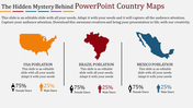
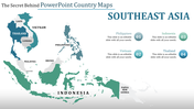
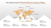
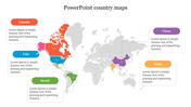
Map Presentation PowerPoint and Google Slides
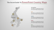
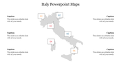
The "Map Presentation PowerPoint and Google Slides" template features a map of Italy with four captions, each displaying a different percentage in various colors. This template serves as an effective tool for visually representing data and information related to Italy or any other geographical region.
This template is ideal for creating presentations related to Italy, such as business reports, travel guides, cultural studies, or educational materials. It can be used to showcase demographic data, economic indicators, tourism statistics, or any other information that requires geographical representation.
Suitable for educators, researchers, business professionals, travelers, or anyone in need of a visually appealing way to present information about Italy.
Compatible with PowerPoint and Google Slides. Available in "16:9" and "4:3" formats and zip files for easy sharing. Free and fully customizable, allowing users to personalize colors, text, and data to suit their specific needs. Download this template now to create visually compelling presentations that effectively convey geographical information about Italy or any other region.
More Collections for Map Presentation PowerPoint And Google Slides
Recommended based on this template.
Similar Templates to Map Presentation PowerPoint And Google Slides
Showing20 of69,218 templates