South Africa Provinces Map Outline PPT and Google Slides
Creative South Africa For Presentation
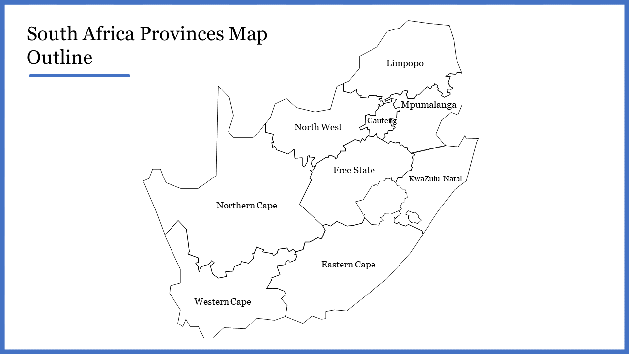
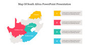
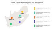
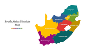
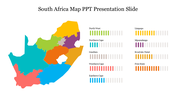
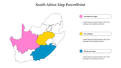
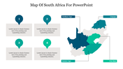
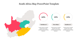
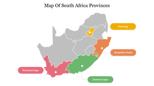
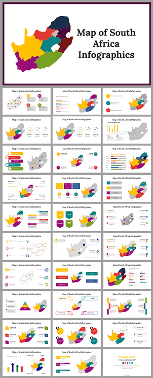
Download the South Africa Provinces Map Outline template to highlight the provinces. With this pre-designed slide, you can clearly outline the nine provinces in South Africa. It is the best template that you can use for presentations and other administration purposes. It is 100 percent free to alter.
About this template
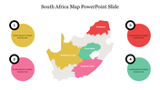
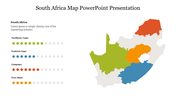
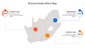
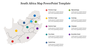
The South Africa Provinces Map Outline template is a nine-node slide. It has a crystal clear outline map of South Africa for demonstration. In addition, you can use the color palette to showcase the important provinces. The map is 100% modifiable and well-designed slide. Additionally, you can download more creative South Africa map templates from SlideEgg.
Feature of this Template
1. 100% customizable slides and easy to download.
2. Slides available in different nodes & colors.
3. The slide is contained in 16:9 and 4:3 formats.
4. Easy to change the slide colors quickly.
5. Well-crafted template with instant download facility.
6. It is a well-designed presentation template.
7. Best Africa Map template for creative Presentation.










You May Also Like These PowerPoint Templates
Showing20 of69,218 templates