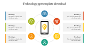
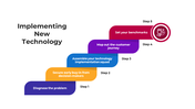
Best Geospatial Technology PowerPoint And Google Slides

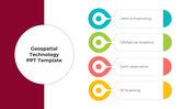


Geospatial Technology Presentation Slides
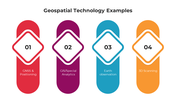
In the dynamic intersection of physical and digital worlds, Geospatial Technology emerges as a groundbreaking marvel. Utilizing tools like the Geographic Information System (GIS) and Remote Sensing, this technology PPT doesn't just map our surroundings but dives deep, drawing insights from spatial relationships and predicting intricate patterns. As we venture from urban planning to environmental monitoring, geospatial technology, with its unparalleled insights, becomes the keystone for data-driven decisions, unraveling a deeper understanding of our ever-evolving world. For urban planners, environmental scientists, and tech aficionados, this template elucidates the multifaceted wonders of geospatial insights. Expertly crafted, each slide beckons the audience on an enlightening journey, showcasing the transformative prowess of geospatial applications. By leveraging this tool, presenters aren't just sharing a concept but are igniting curiosity, inviting all to view the world through a refined geospatial lens. Embrace it to inspire and inform.
Features of the templates:
- 100% customizable slides and easy to download.
- Slides are available in different nodes & colors.
- The slide contained 16:9 and 4:3 formats.
- Easy to change the slide colors quickly.
- It is a well-crafted template with an instant download facility.
- Highly compatible with PowerPoint and Google Slides.
You May Also Like These PowerPoint Templates


