Best Continents Map Labeled PowerPoint PPT Template

World map with continents in different colors, labeled North America, South America, Europe, Africa, Asia, and Australia.
P.ID : 57107
    639 views
    99 Downloads
    Get Custom Slides by Experts
    Instantly Access Templates in PowerPoint

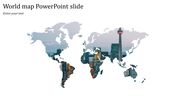
    Practical Continents Map Labeled PPT Template

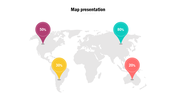
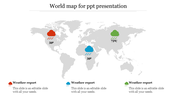
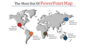
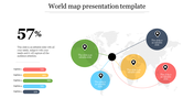
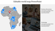
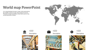
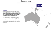
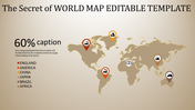
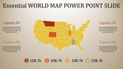
    Get our Continents Map Labeled PowerPoint Slide to provide a clear picture of the world Map in PowerPoints. It is not difficult to make a better world map if you use our template. Using this Continents Map Labeled PowerPoint Slide will also help learn some tips. Finally, you will be satisfied with the results that you will achieve. We have a lot of excellent slides for the continent Map slides. Every continent has a caption and is highlighted in different shades of pinpoints. You can choose between many colors in our templates. However, Users can change the fonts, the format of the Continent map, and the borders.

    Features of this template

    • 100% editable and easy to modify
    • Huge Collections of Map slides to impress your audience
    • Easy-to-edit graphics such as graphs, maps, tables, and timelines
    • Ready to use in Google Slides and Microsoft PowerPoint
    • 16:9 screen format suitable for all types of screens.
    Advertisement

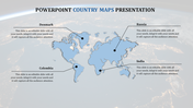
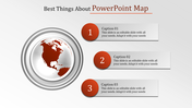
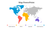
    You May Also Like These PowerPoint Templates

    Add to Wishlist
    Download
    AI Customize
    World map infographic with countries in blue and a table listing sessions, goals, conversion rates, and bounce rates.
    Add to Wishlist
    Download
    AI Customize
    World map PowerPoint slide with percentage circles highlighting different regions with percentages and captions.
    Add to Wishlist
    Download
    AI Customize
    World map with regions highlighted in yellow, green, and pink, representing South America, Europe, and Australia with text.
    Add to Wishlist
    Download
    AI Customize
    World map PowerPoint slide highlighting North America, Europe, Russia, and China with respective population data.
    Add to Wishlist
    Download
    AI Customize
    PowerPoint slide featuring a world map with three location markers, each with text boxes.
    Add to Wishlist
    Download
    AI Customize
    World map slide with caption areas linked by horizontal colored lines representing different regions.
    Free
    Add to Wishlist
    Download
    AI Customize
    Blue-themed infographic featuring a globe and three doughnut charts labeled 40%, 60%, and 70%.
    Add to Wishlist
    Download
    AI Customize
    Illustrated Witcher world map with colored continents,  indicating different regions and color-coded caption areas.
    Free
    Add to Wishlist
    Download
    AI Customize
    World map PowerPoint slide with highlighted countries USA, Germany, a number counter, and a pie chart on a white theme.
    Add to Wishlist
    Download
    AI Customize
    Mapa mundi para apresentacao with numbered regions, each displaying a placeholder text on a colorful, interactive map.
    Add to Wishlist
    Download
    AI Customize
    A slide showing a world map illustrating the seven continents and five oceans in shades of blue with a beige background.
    Add to Wishlist
    Download
    AI Customize
    Pack of slides with multiple world maps showing the continents and oceans, using distinct color schemes.
    Free
    Add to Wishlist
    Download
    AI Customize
    Editable World Map For PowerPoint Download Slide
    Add to Wishlist
    Download
    AI Customize
    Slide featuring an interactive world map with colored markers indicating various locations with percentage captions below.
    Add to Wishlist
    Download
    AI Customize
    Color coded world map highlighting the five major oceans pacific, atlantic, arctic, southern, and indian.
    Add to Wishlist
    Download
    AI Customize
    A blank, printable world map displaying the seven labeled continents from north america to australia.