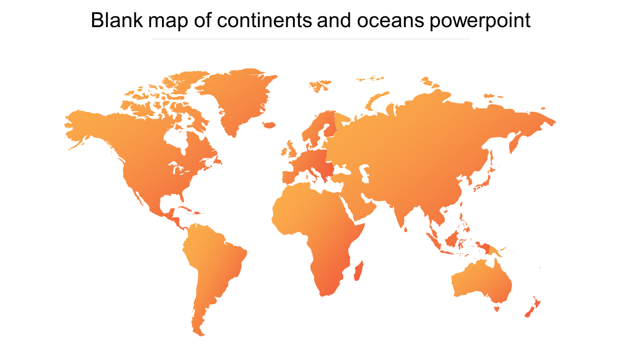
Blank Map of Continents and Oceans PowerPoint
 Canva
Canva
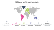
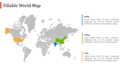
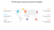
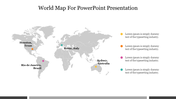
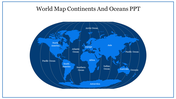
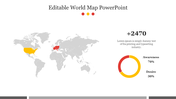
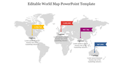
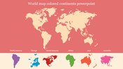
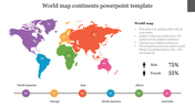
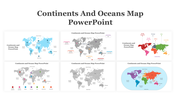
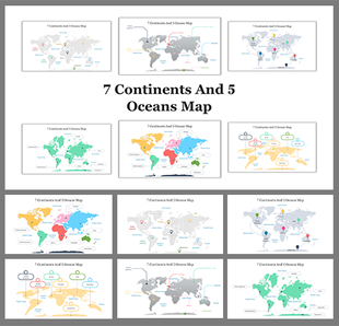
Blank Map Of Continents And Oceans Presentation Slide
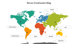
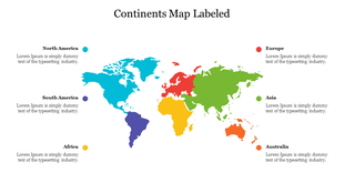
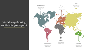
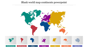
A world map is a visual representation of the Earth's surface, showing the locations of countries, cities, oceans, and other geographic features. World maps can be used for a variety of purposes, such as navigation, education, and research. They come in many different forms, from physical maps that show the terrain and elevation of the Earth's surface, to political maps that display the boundaries of countries and their territories. World maps have been an important tool for exploration, trade, and diplomacy throughout human history. Using this template can help you to keep your audience engaged and interested throughout your presentation.
Features of the Template
- 100 % customizable template and easy to download.
- Template are available in different nodes & colors.
- The template contained in 16:9 and 4:3 format.
- Easy to change the template colors quickly.
- Highly compatible with PowerPoint and google slides.
- Visualize your global impact with our detailed and customizable world map template.










You May Also Like These PowerPoint Templates
Showing20 of69,218 templates