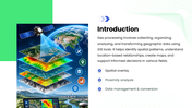
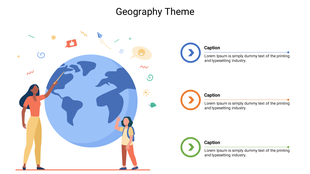
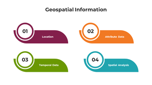
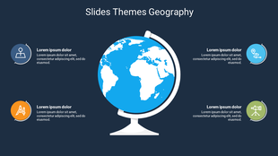
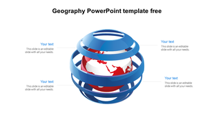
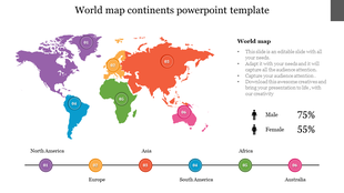
Explore geographic data with this professional geoprocessing PowerPoint template. Designed with a clean blue and green color theme and editable shapes, this presentation helps you explain how geographic information is collected, processed, analyzed, and transformed into useful insights. Its structured layouts make complex GIS concepts easier to understand for students, educators, researchers, and geospatial professionals.
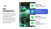
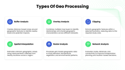
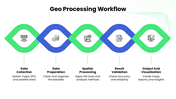
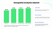
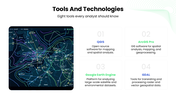
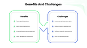
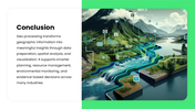
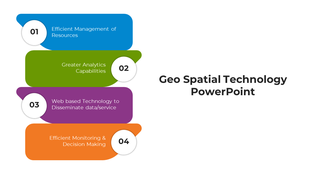
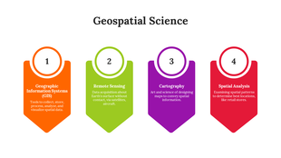
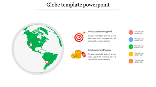
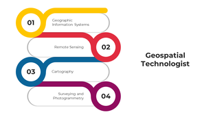
This Geoprocessing PPT covers key topics such as the introduction to geoprocessing, core components, types of geoprocessing, workflow, geospatial analytics, tools and technologies, applications, benefits, and challenges. It includes process diagrams, data charts, infographic layouts, icons, and geographic visuals to help you present technical information in a clear and engaging way.
Whether you are preparing a GIS presentation, spatial data analysis report, geography lecture, remote sensing overview, or geospatial technology seminar, this template provides a practical starting point. Use it to explain spatial analysis methods, geographic information systems, location-based insights, and real-world applications in urban planning, environmental management, transportation, and disaster risk assessment.
Make your geographic data easier to explain and your presentation more engaging. Download this Geoprocessing PowerPoint template and customize it for your next project.