Printable World Map Continents PowerPoint & Google Slides


Printable World Map Continents Presentation Slide
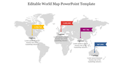
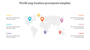
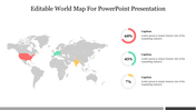
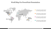
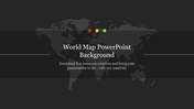
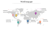
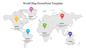
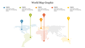
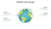
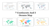
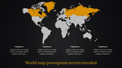
The world map is divided into seven continents: Asia, Africa, North America, South America, Antarctica, Europe, and Australia/Oceania. Each continent is distinct in terms of its geography, culture, and history. Asia is the largest continent, both in terms of land area and population, while Antarctica is the smallest and most sparsely populated. Europe and Asia are often considered a single continent, known as Eurasia, due to their close proximity and historical connections. Australia/Oceania is the only continent that is also a country, and it is located entirely in the Southern Hemisphere. Understanding the continents is essential for a basic understanding of global geography. You can use this template if you want to explain this idea to your audience.
Features of the Template:
- 100% customizable slide and easy to download.
- Easy to change the slide's colors.
- The template contains 16:9 and 4:3 formats.
- Highly compatible with PowerPoint.


You May Also Like These PowerPoint Templates

Add to Wishlist
Download
Edit

Add to Wishlist
Download
Edit

Add to Wishlist
Download
Edit

Add to Wishlist
Download
Edit


Add to Wishlist
Download
Edit


Add to Wishlist
Download
Edit

Add to Wishlist
Download
Edit

Add to Wishlist
Download
Edit

Add to Wishlist
Download
Edit


Add to Wishlist
Download
Edit
