Free - Best Landscape Assessment PowerPoint And Google Slides
Free

 Canva
Canva
Landscape Assessment PPT, Google Slides, And Canva Template
Landscape assessment involves identifying natural features, landscapes, ecosystems, and human interactions in a given area. It is widely used in urban planning, environmental impact assessments, and conservation management. The method provides decision-makers with data to balance development goals and environmental integrity, and to support long-term sustainability and land use planning.
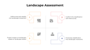
Purpose Of The Slides
This platform is designed to provide clarity on landscape assessment, visual character mapping, environmental value, and land sensitivity. Ideal for stakeholder engagement, policymaking, and educational presentations, it helps communicate complex assessments in an easy-to-understand format. Great for displaying case studies, field reports, and planning strategies in structured slides.
Who Can Use It?
Ideal for landscape architects, urban planners, environmental consultants, students, researchers, and policymakers. It serves professionals working on land development, redevelopment projects, or rural-urban transition. Educators can use it to teach landscape planning, environmental studies, or impact assessments in schools, colleges, and training workshops.
Special Key Features
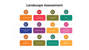
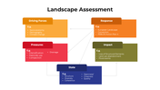
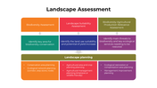
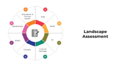
Slides include editable charts, landscape views, SWOT tables, and clean, intuitive layouts. Effortlessly highlight field survey data, zoning maps, and risk factors. Download this landscape assessment slide deck now to bring professional insight, clarity, and visual storytelling to your planning or sustainability presentations.
Features of this template
- 100% customizable slides and easy to download.
- The slides contain 16:9 and 4:3 formats.
- Easy to change the colors quickly.
- Highly compatible with PowerPoint, Google Slides, and Canva templates.
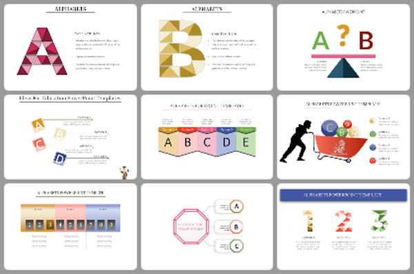
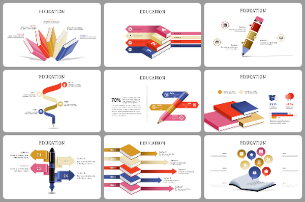
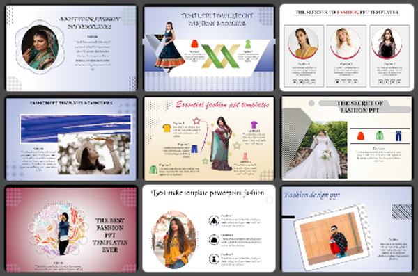
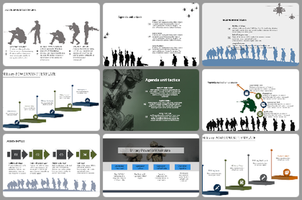
You May Also Like These PowerPoint Templates
Add to Wishlist
Download
Edit

Add to Wishlist
Download
Edit


Add to Wishlist
Download
Edit


Add to Wishlist
Download
Edit


Add to Wishlist
Download
Edit


Add to Wishlist
Download
Edit

Add to Wishlist
Download
Edit

Add to Wishlist
Download
Edit

Free
Add to Wishlist
Download
Edit

Add to Wishlist
Download
Edit

Add to Wishlist
Download
Edit


Add to Wishlist
Download
Edit


Add to Wishlist
Download
Edit


