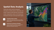
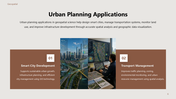
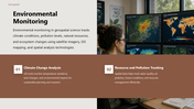
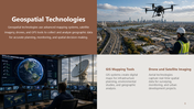
Present spatial data, mapping technologies, and geographic intelligence effectively with this Geospatial Information Science Presentation Template, designed to explain how geospatial systems support mapping, environmental monitoring, urban planning, and spatial data analysis. With modern layouts, geographic visuals, and technology-focused slide designs, this template helps simplify complex geospatial concepts for professional and educational presentations.
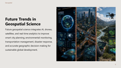
The presentation covers essential topics, including an introduction to geospatial information science, geographic information systems, remote sensing technology, spatial data analysis, urban planning applications, environmental monitoring, geospatial technologies, future trends in geospatial science, and a conclusion. Each slide is structured with detailed visuals, data-driven layouts, and organized content sections to improve clarity and audience engagement.
This template is ideal for GIS professionals, environmental researchers, urban planners, geography students, data scientists, mapping specialists, research organizations, and educational institutions presenting geographic data, spatial intelligence solutions, remote sensing projects, and environmental analysis. It is suitable for academic lectures, research discussions, geographic reporting, smart city planning, and technology presentations. The content highlights how geospatial science improves decision-making through mapping systems, satellite imagery, spatial visualization, infrastructure planning, climate monitoring, and the interpretation of geographic data. These Science and Research Presentation Templates are especially useful for explaining advanced geographic technologies, presenting research findings, and communicating spatial analysis results in a visually engaging and professional manner.
Fully editable and customizable, users can easily modify images, maps, icons, charts, colors, and text according to their project or branding needs. Use this presentation template to create impactful geospatial presentations, showcase scientific research effectively, and deliver clear geographic insights with modern professional design.