Guaranteed Comoros PowerPoint Map Presentation

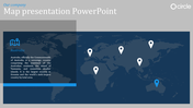
Comprehensive Comoros PowerPoint Map Presentation
These Comoros PPT map template slides are likely used for a variety of reasons depending on the presenter's field.
Slide Description:
This template has been complemented with a detailed map of Comoros, four pinpoints, and two editable text areas.
Where is Comoros located?
The Comoros, officially the Union of the Comoros, is an island nation nesting in Southeastern Africa. You will find it in the Indian Ocean at the northern tip of the Mozambique Channel.
Who can use this template?
- Teachers: Teach students an interactive lesson about Comoros.
- Travel & Business Professionals: Indicate your target markets or areas of operation within Comoros.
- Researchers: Use it to show data points or geographic trends of Comoros.
Download this Comoros PPT map template today
Features of the template
- 100% customizable slides and easy to download.
- The slides contain 16:9 and 4:3 formats.
- Easy to change the colors quickly.
- It is a well-crafted template with an instant download facility.
- It is a 100% pre-designed slide.
- The slide holds vibrant colors.


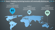
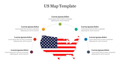
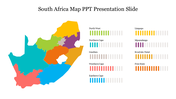
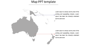
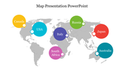
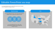
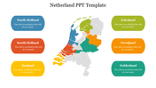
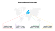
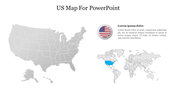
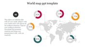
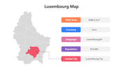
You May Also Like These PowerPoint Templates
Add to Wishlist
Download
Edit

Add to Wishlist
Download
Edit

Add to Wishlist
Download
Edit

Add to Wishlist
Download
Edit

Add to Wishlist
Download
Edit

Add to Wishlist
Download
Edit

Add to Wishlist
Download
Edit

Add to Wishlist
Download
Edit

Add to Wishlist
Download
Edit


Add to Wishlist
Download
Edit

Add to Wishlist
Download
Edit

Add to Wishlist
Download
Edit

Add to Wishlist
Download
Edit

Add to Wishlist
Download
Edit

Add to Wishlist
Download
Edit

Add to Wishlist
Download
Edit

Add to Wishlist
Download
Edit

Add to Wishlist
Download
Edit

Add to Wishlist
Download
Edit
