Map Of Syria Infographics PPT and Google Slides Themes


Map Of Syria Infographics Presentation Slide
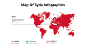
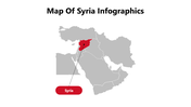
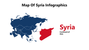
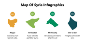
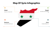
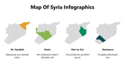
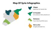
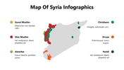
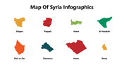
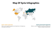
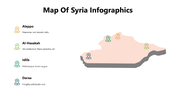
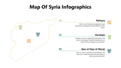
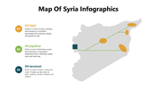
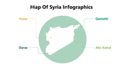
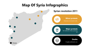
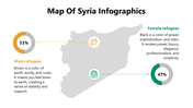
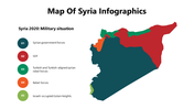
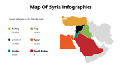
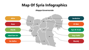
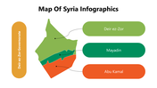
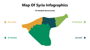
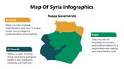
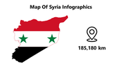
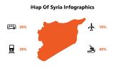
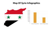
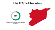
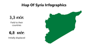
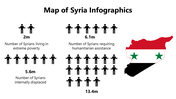
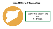
The map of Syria outlines the country's borders and its major cities, including the capital, Damascus. The country is located in the Middle East, bordered by Turkey to the north, Iraq to the east, Jordan to the south, Israel to the southwest, and Lebanon to the west. The map also highlights Syria's diverse terrain, which ranges from mountainous regions to desert landscapes. The map can be useful for individuals interested in studying Syria's geography, political climate, or planning travel to the region. The template is also customizable, allowing users to add their own data or information to create more engaging and informative presentations.
Features of the Templates
- 100 % customizable slides and easy to download.
- Slides are available in different colors.
- The SlideSlide has 4:3 and 16:9 formats.
- Easy to change the slide colors quickly.
- Appealing Presentation to impress an audience.
- Create feature-rich slide presentations.
- An eye-pleasing color slide helps to give a catchy presentation.
- Crisp and clear font styles and design Presentation.
- Consistent with Microsoft PPT and Google Slides.
- Alluring Map of Syria infographic PPT bundle.


You May Also Like These PowerPoint Templates
Add to Wishlist
Download
Edit

Add to Wishlist
Download
Edit


Add to Wishlist
Download
Edit

Add to Wishlist
Download
Edit

Add to Wishlist
Download
Edit

Add to Wishlist
Download
Edit


Add to Wishlist
Download
Edit

Add to Wishlist
Download
Edit

Add to Wishlist
Download
Edit

Add to Wishlist
Download
Edit

Add to Wishlist
Download
Edit

Add to Wishlist
Download
Edit

Add to Wishlist
Download
Edit

Add to Wishlist
Download
Edit

Add to Wishlist
Download
Edit

Add to Wishlist
Download
Edit


Add to Wishlist
Download
Edit

Add to Wishlist
Download
Edit

Add to Wishlist
Download
Edit

Add to Wishlist
Download
Edit

Add to Wishlist
Download
Edit

Add to Wishlist
Download
Edit

Add to Wishlist
Download
Edit

Add to Wishlist
Download
Edit

Add to Wishlist
Download
Edit

Add to Wishlist
Download
Edit

Add to Wishlist
Download
Edit

Add to Wishlist
Download
Edit

Add to Wishlist
Download
Edit

Add to Wishlist
Download
Edit


Add to Wishlist
Download
Edit

Add to Wishlist
Download
Edit
