Middle East Kuwait Map Google Slides and PPT Template

Middle East Kuwait Map Presentation Slide
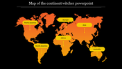
The Middle East Kuwait Map refers to a geographical map of Kuwait, a country located in the Middle East on the northeastern coast of the Arabian Peninsula. The country is bordered by Saudi Arabia to the south and Iraq to the north, and its capital city is Kuwait City. Kuwait is known for its oil reserves, which have made it one of the richest countries in the world. Our Middle East Kuwait Map template can help you effectively showcase geographical information about Kuwait, whether you're presenting on its location, topography, or infrastructure.
Features of the template:
- 100% customizable slides and easy to download.
- Slides available in different nodes & colors.
- The slide contained 16:9 and 4:3 format.
- Easy to change the slide colors quickly.
- Well-crafted template with instant download facility.
- It looks unique and informative.
- Highly compatible with PowerPoint and Google Slides


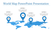
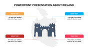
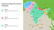
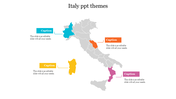
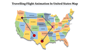
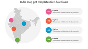
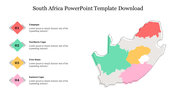
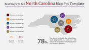
You May Also Like These PowerPoint Templates
Add to Wishlist
Download
Edit

Add to Wishlist
Download
Edit


Add to Wishlist
Download
Edit

Add to Wishlist
Download
Edit

Add to Wishlist
Download
Edit

Add to Wishlist
Download
Edit


Add to Wishlist
Download
Edit

Add to Wishlist
Download
Edit

Add to Wishlist
Download
Edit

Add to Wishlist
Download
Edit

Add to Wishlist
Download
Edit

Add to Wishlist
Download
Edit


Add to Wishlist
Download
Edit

Add to Wishlist
Download
Edit


Add to Wishlist
Download
Edit

Add to Wishlist
Download
Edit
