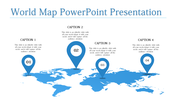
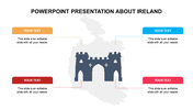
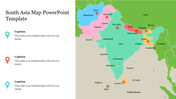
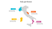
Best France Map Outline Presentation PPT Template Design

Best France Map Outline Presentation PPT Template Design
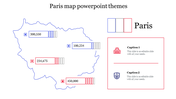
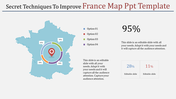
Download this Best France Map Outline Presentation PPT Template Design for all your geographical data representations. France is a semi-presidential unitary republic with Paris as its capital. It is the largest country in the EU. It is the world's most popular tourist destination.
This Best France Map Outline Presentation PPT Template Design helps you to visualize geographical data. This template has the outline and political outline of France. This is an eight nodded template. Each node represents the states of France. The map outline of France is placed at the center of this template. The nodes are arranged on both sides of the map outline.
This template helps you represent to locate offices or some specific places, sales territories, to show paths, travel routes, and so on.
Use this delicate template with the map outline of France Province for all your geographical data representations.
Features of this template:
- 100% customizable slides and easy to download.
- Slides available in different nodes & colors.
- The slide contained 16:9 and 4:3 format.
- Easy to change the slide colors quickly.
- Well-crafted template with instant download facility.
- Geographically themed template with France outline map.
- Pre-built template with eight nodes.


You May Also Like These PowerPoint Templates


