Satellite Based Positioning PowerPoint And Google Slides

 Canva
Canva
Satellite-Based Positioning PPT, Google Slides, and Canva Template
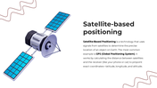
Satellite-based positioning is the technology that helps us know exactly where we are on Earth. Using signals from satellites, it determines precise locations by calculating distances between satellites and receivers, such as mobile phones, cars, or navigation systems. The most familiar example is the GPS (Global Positioning System).
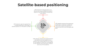
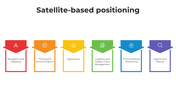
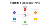
The Satellite-based Positioning PowerPoint Template is designed to explain this important concept in a simple, engaging, and visually clear way. It introduces how the system works, its accuracy, and its key applications in transportation, agriculture, logistics, emergency response, and everyday navigation.
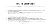
The slides use a modern multicolor theme with satellite graphics, infographics, and clean layouts. Each slide is fully editable, making it easy to adapt for teachers, students, IT trainers, researchers, or business professionals who want to explain positioning systems with clarity.
By using this template, you’re not only presenting technical data, you’re showing how satellite positioning improves safety, efficiency, and daily life for people all around the world.
Features of this template
- 100% customizable slides and easy to download.
- The slides contain 16:9 and 4:3 formats.
- Easy to change the colors quickly.
- Highly compatible with PowerPoint, Google Slides, and Canva templates.
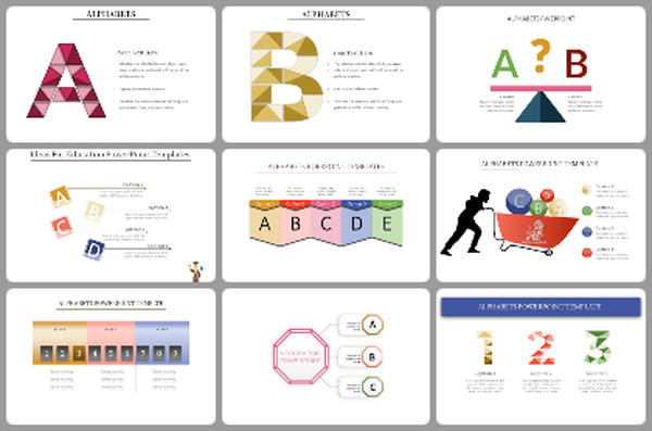
You May Also Like These PowerPoint Templates


