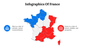
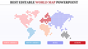
France Map PowerPoint Presentation And Google Slides

 Canva
Canva

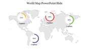
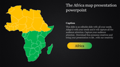
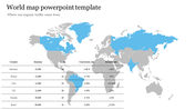
France Map PowerPoint, Google Slides, and Canva Template
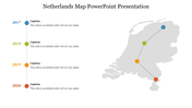
France Map PowerPoint is the perfect single slide for presenting detailed regional data, travel plans, or business expansions related to France. This deck includes clear, editable France maps with supporting infographics to help professionals, educators, and students highlight cities, regions, demographics, or logistics routes with ease and style.
Purpose Of The Slides
The purpose of this France Map PowerPoint is to help you transform dry geographic or statistical data into visually compelling stories. Each slide is designed to showcase France’s administrative divisions, major cities, and surrounding regions, making it simple to demonstrate market coverage, regional performance, or tourism statistics. The built-in infographics and markers allow you to pinpoint locations and annotate insights without clutter.
Who Can Use It?
This France map slide deck is ideal for business analysts, marketing teams, travel planners, teachers, and students who need to present France-centric reports or lessons. Whether you are pitching to stakeholders about a market launch in France, teaching European geography, or mapping supply chains, this slide set saves time and boosts presentation impact.
Special Key Features
Includes clean, easy-to-edit slides, professional icons, placeholders for notes, and a polished multicolor theme that draws attention to key regions without distraction. Download this France Map PowerPoint now and give your next report, pitch, or lesson a precise, professional edge that audiences will remember!
Features of this template
- 100% customizable slides and easy to download.
- The slides contain 16:9 and 4:3 formats.
- Easy to change the colors quickly.
- Highly compatible with PowerPoint, Google Slides, and Canva templates.


You May Also Like These PowerPoint Templates


